
LAND SURVEYING & GIS

Land Surveying & GIS
ALTA/ACSM Surveys
Topographic Surveys
Flood Surveys
Design and Asbuilt Surveys
Boundary Surveys
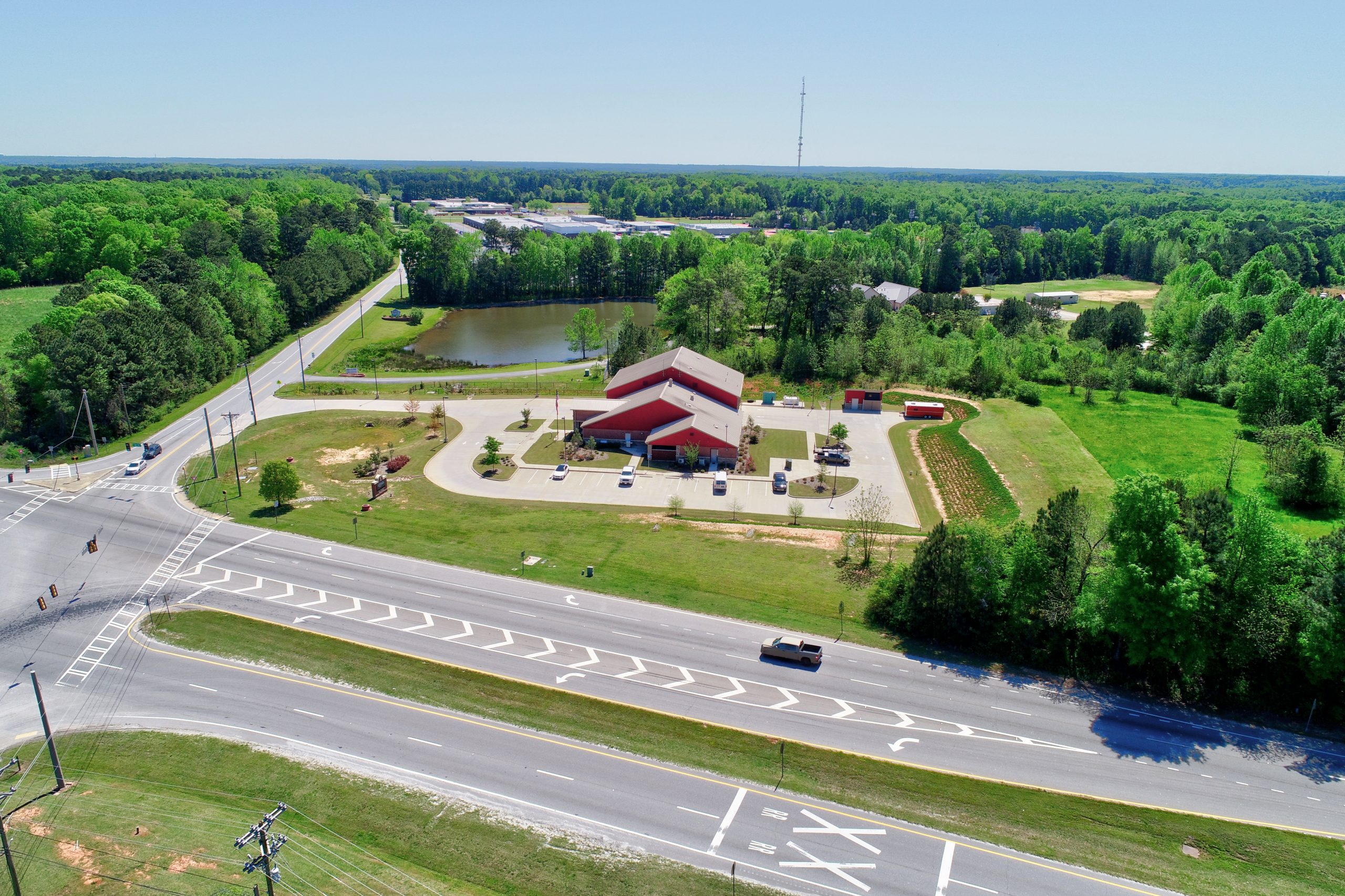
Drone Technology
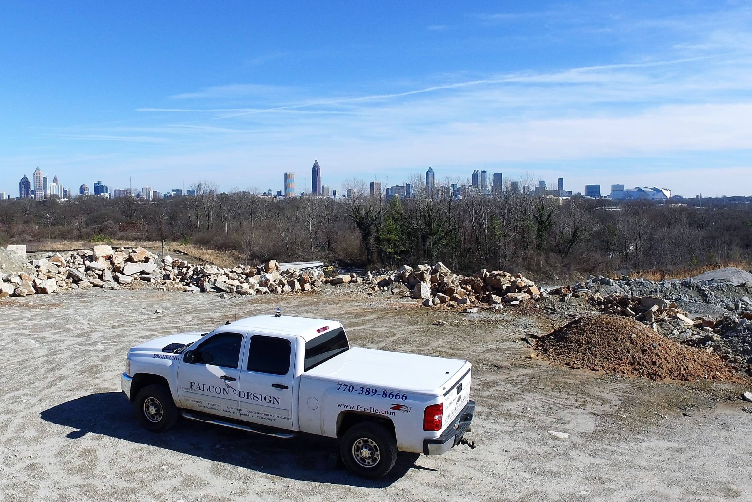
Falcon Design is staffed with survey professionals that are proficient in the latest surveying, topography and mapping technologies, and use state of the art surveying instruments, including drones. Site flyovers with drones can detect obstacles which could affect the construction of highways, waterways, public works and other building sites, which could be missed when using conventional methods.
Falcon Design Consultants is experienced in providing municipal surveys and the regulations affecting them. Our surveying services include; boundary surveys, ALTA/ACSM surveys, construction staking, topographic surveys, right-of-way plats, easement plats, aerial mapping control surveys, and tree surveys.
Geographic Information System (GIS)
A geographic information system (GIS) is a system that creates, manages, analyzes, and maps all types of data. Falcon Design Consultants is staffed with surveying and GIS professionals that are trained and up-to-par with the latest technology, therefore transforming those abilities into real world solutions.